


100K
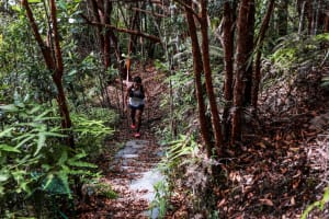
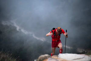
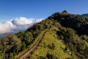
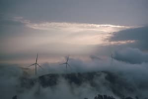
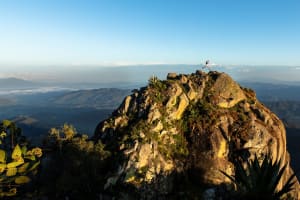
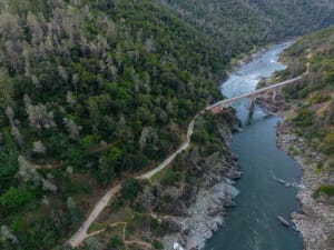
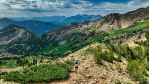
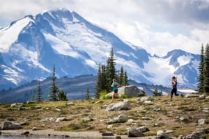
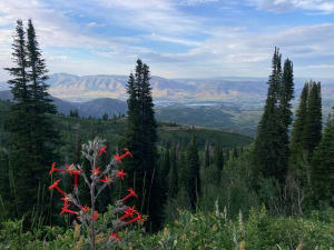
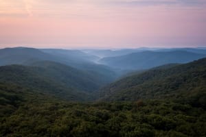
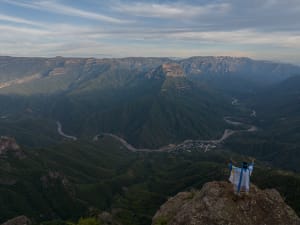
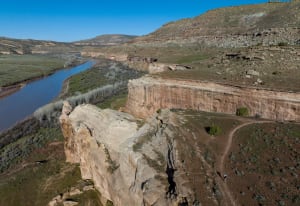
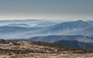
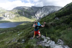
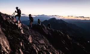
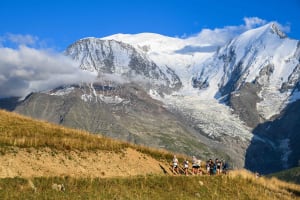
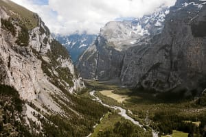
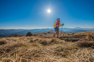
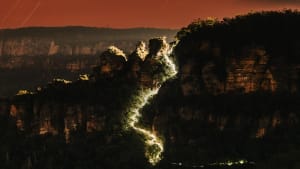
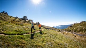
Experience some of the most scenic and iconic landmarks of the Western States Trail as you cover up to 13,000’ of elevation gain along the North Fork of the American River. This course begins at China Wall and ends in downtown Auburn.
Race Category

Running Stones
Finals Access


Course Description
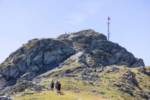
From China Wall, runners will take Mitchell Mine Rd and drop into Eldorado Canyon then up the Western States Trail to Deadwood where runners will make their way past the Pump to the infamous Swinging Bridge. From Devils Thumb go left on Loop 6 and a second visit to Deadwood Aid Station, jump back on the WST and then the journey towards Auburn! A quick descent to Eldorado Bridge then up to Michigan Bluff to make the way through Volcano Canyon to Foresthill and continuing along Cal Street. Following the Western States Trail, runners will run along the American River, up to Driver’s Flat, to Mammoth Bar and take the Confluence Trail to No Hands Bridge. After crossing No Hands Bridge, it’s the final stretch up to Robie Point where runners follow the route to cross Ann Trason’s White Bridge and finish in historic downtown Auburn! Approximately 13,000 feet of vert, 17,000 feet of descent.
Runners will have 20 hours for the overall cut-off and to get their Western States Qualifier.
*Course maps subject to change.


